UN
50 St Georges Avenue
£ 185,000
Description
We don't have a Description for this property.
- Bedrooms
- 3
- Bathrooms
- 0
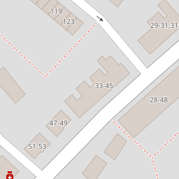

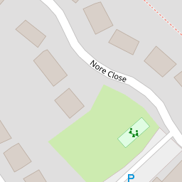


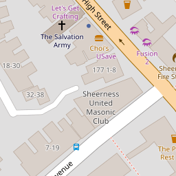
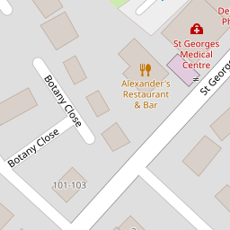

Leaflet © OpenStreetMap contributors
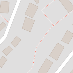
The heatmap indicates the level of crime in the area. The color of the heatmap indicates the crime severity and recency.
Metrics Year-on-Year
- Average area value
- 202,431.00 £Increased by 1.44 %
- Average area rental value
- 1,233.00 £/moIncreased by 17.09 %
- Est rental Yield
- 7.31 %Increased by 15.48 %
- Crime Rate
- 12.00 %Unchanged by 0.00 %
from 199,565.00 £
from 1,053.00 £/mo
from 6.33 %
from 12.00 %
Nearby Schools
| Name | Type | Ofsted | Distance |
|---|---|---|---|
| Seashells Children'S Centre | Children's Centre | 0.40 KM | |
| Rose Street Primary School | Community School | Good | 0.41 KM |
| St Edward'S Catholic Primary School | Academy Sponsor Led | Good | 0.65 KM |
| West Minster Primary School | Community School | Good | 1.08 KM |
| Richmond Academy | Academy Sponsor Led | Requires improvement | 1.32 KM |
Images
Nearby Streets
| Name | Average Price | Average Sqft | Distance |
|---|---|---|---|
| Holland Close | £ 130,000 | 0 | 0.00 KM |
| St George's Avenue | £ 280,000 | 0 | 0.00 KM |
| True Briton Alley | £ 0 | 0 | 0.00 KM |
| Halfway Road | £ 300,000 | 0 | 0.00 KM |
| Miranda Court | £ 200,000 | 0 | 0.00 KM |
Nearby Transport
| Name | NLC | TLC | Distance |
|---|---|---|---|
| Sheerness-On-Sea | 5184 | SSS | 0.70 KM |
| Queenborough | 5176 | QBR | 2.68 KM |
| Swale | 5249 | SWL | 5.48 KM |
| Kemsley | 5205 | KML | 8.73 KM |
Nearby Listings
| Address | Price | Type | Score | Distance |
|---|---|---|---|---|
| Granville Road, Sheerness | £ 220,000 | BUY | 7 / 10 | 0.12 KM |
| Granville Road, Sheerness, Kent | £ 220,000 | BUY | 6 / 10 | 0.13 KM |
| Granville Place, Sheerness | £ 240,000 | BUY | Unknown | 0.17 KM |
| Granville Road, Sheerness | £ 190,000 | BUY | 7 / 10 | 0.17 KM |
| Granville Place, Sheerness | £ 240,000 | BUY | Unknown | 0.17 KM |
Nearby Properties
| Address | Price | Distance |
|---|---|---|
| 37 St Georges Avenue | £ 186,500 | 0.00 KM |
| 50 St Georges Avenue | £ 185,000 | 0.00 KM |
| 39 St Georges Avenue | £ 123,000 | 0.02 KM |
| 72 St Georges Avenue | £ 137,000 | 0.02 KM |
| 73 Victoria Street | £ 158,000 | 0.10 KM |